

Ishan Patnaik
Class of 2026San Francisco, California
About
Projects
- Comparison of Classification Regions for AI Geolocation with mentor Vidya (Sept. 19, 2023)
Ishan's Symposium Presentation
Project Portfolio
Comparison of Classification Regions for AI Geolocation
Started Mar. 8, 2023
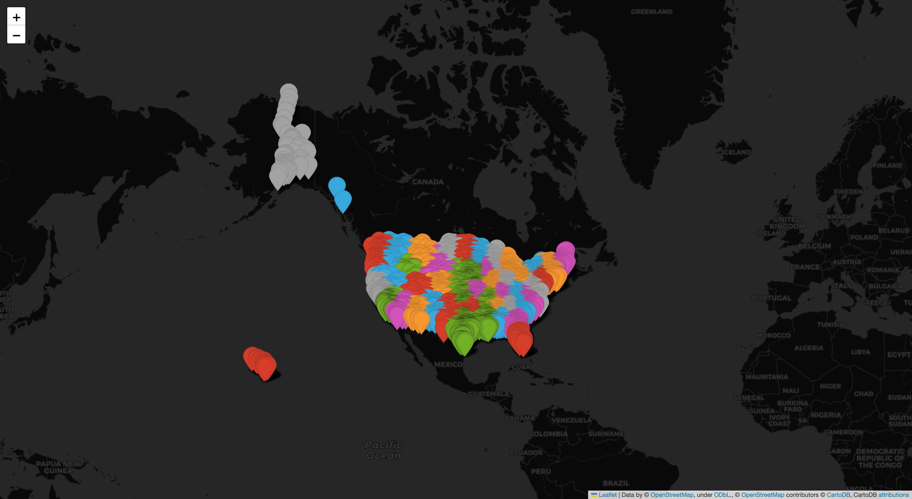
Abstract or project description
Geolocation is the foundation of almost all technology that deals with spatial data, from the GPS-based navigation software in a vehicle to the built-in tracking system on a mobile device. At its core, geolocation is simply the process of determining or approximating the geographical position of an object. However, the type of geolocation we are interested in is slightly more specific; it is the process of locating a single image solely based on its internal information. Until recently, it has been extremely difficult—if not impossible—to do this reliably. These techniques are often applied by intelligence agencies, in which specialized analysts use geolocation to track down wanted individuals by investigating details in the images they appear in. Even then, it is by no means straightforward to check these images against endless amounts of map data and satellite imagery, let alone pinpoint an exact location. However, with the increasingly powerful capabilities of artificial intelligence and machine learning, we are starting to see a shift in the applications and techniques used in geolocation. In this study, we aim to determine the most effective way to teach a computer how to match images to their respective locations on a map.